Blog
How Snow Removal Software Helps Cities Run Smarter Winter Operation
by Katie Kinnear • July 24, 2026
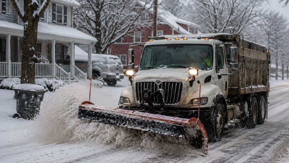
For decades, municipal snow operations have run on paper. When a storm hits, drivers are handed a printed map and a highlighter, and they mark off streets by hand as they clear them. It is a system that works right up until it does not, when a relief driver inherits a half-finished map at 3 AM, when an operator is reassigned to an unfamiliar district mid-storm, or when a resident calls to ask why their street still has not been touched and no one can say for certain whether it has.
Paper route tracking is inefficient in a high-stakes weather situation because manually recording is prone to mistakes and the information is not easily shareable. Digital tools change that. A live, on-screen view of the work keeps the driver’s focus on the road, while the back office gets an accurate picture of the storm as it unfolds, which streets are clear, which are not, and where every truck is.
Key Takeaways
- Snow removal software replaces paper maps and highlighters with a real-time, color-coded digital map, removing a dangerous distraction from the cab and giving the back office a live view of the storm.
- Turn-by-turn navigation lets any available driver run any route safely, even an unfamiliar one, which is critical when regular crews cannot all get in during a major storm.
- Live hazard alerts warn crews about hidden dangers like metal plates and speed bumps before they reach them, improving safety across the whole fleet.
- A complete record of every pass, with timestamps and vehicle speed, lets a city answer residents and elected officials with proof rather than guesswork.
Why Paper Maps Fail in a Storm
Winter weather changes municipal logistics in an instant, and managing a fleet of snowplows during an active storm demands precise coordination and clear communication. The traditional method, paper maps marked by hand, fails on exactly the points that matter most during a storm. It offers no shared view between the cab and the office, no way to confirm which streets are genuinely clear, and no record afterward beyond a driver’s memory.
Snow removal software solves this by treating the vehicle itself as a mobile tracking tool. Instead of guessing which neighborhoods have been cleared or scrambling to guide operators through unfamiliar sectors, a city works from real-time visual tracking that updates as each truck progresses. The result is simpler dispatching, continuous confirmation of service quality, and, above all, safer operations, because drivers need not split their attention between driving and route feedback loops.
How the Routeware SmartCity Driver App Works in the Cab
The Routeware SmartCity Driver App runs directly on standard in-cab Android and iOS tablets, with a single interface designed to keep operators focused on the road while continuously updating the main office.
Fast login and crew accountability: When a driver is called in, they enter their name and the system links them to their assigned plow and route through pre-populated default profiles. That automated lookup removes manual typing and reduces setup errors during sudden early-morning deployments.
Continuing a shift mid-storm: Active snow events require continuous coverage across shifts. When opening the app, an operator can launch a new run or continue a previous one, and a route continuation shows the exact level of completion the prior crew achieved. A relief driver can take over midway through a storm and resume clearing immediately, without repeating finished work.
Digital safety inspections: Pre-trip and post-trip inspections run as digital checklists, with required fields covering mirrors, wipers, fluid levels, and lighting, and camera-based photo confirmation of conditions like cab cleanliness. Each inspection records a duration timestamp, so management can see when checks are being rushed rather than done properly.
What the Color-Coded Map Shows During a Storm
At the core of the app is an interactive map that tracks field progress in real time as the vehicle moves. Street segments requiring service appear as blue lines, and as a plow travels down a street, the segment changes color to reflect the work completed, turning toward green as the required number of passes is met. Tapping any segment shows its exact requirement, such as whether a road needs a single pass or a multi-pass approach with a forward and reverse pass on opposite sides.
The map adapts to how a city works. For wider roads or strict plowing guidelines, segments can be programmed with multiple pass-count requirements, and the system uses the tablet’s GPS heading, speed, and direction to track which lane the truck is actually clearing. For time-sensitive clearing, the map can instead colour streets by how recently they were serviced, giving supervisors an immediate read on where attention is overdue. This kind of real-time snow plow tracking turns coverage guesswork into an up-to-date view of the whole road network. Tapping any open part of the map opens a quick summary of the whole assignment: how many segments are unserviced, partially complete, and fully cleared, alongside any remaining street-specific jobs.
How Snow Removal Software Helps Unfamiliar Drivers
One of the most valuable capabilities of the SmartCity system during a storm is how it supports drivers who do not know their assigned route. A veteran who has plowed the same streets for years can simply dock the tablet and drive, watching segments turn from blue to green as they work. A new driver or a contractor pulled in for the storm needs more, and this is where snow removal software delivers.
The Routeware SmartCity Driver App offers a sequenced, turn-by-turn navigation experience that guides an operator through every street segment and pass requirement so nothing is missed. If a driver deviates from the path, the app flags that they are off route and draws a line back to where they left it, with a single button to return to the sequence. The effect is that a city can deploy any available driver to any route and trust the work will be done completely, which is exactly the flexibility a major storm demands when regular crews cannot all get in.
Managing Hazards and Exceptions in Real Time
Operating heavy machinery in hazardous conditions requires tools that adapt to sudden road changes, and the app handles this through live alerts and exception logging.
City alerts function as an internal navigation assistant for the whole fleet. As a plow approaches a hazard, an audio and visual warning triggers at a set distance, flagging hidden dangers like raised metal plates, speed bumps, or accidents. Supervisors can load season-long warnings from the back office, and drivers can drop new alerts in real time for the rest of the fleet, with temporary hazards like accidents set to expire automatically while infrastructure hazards remain all winter.
When something disrupts normal operations, say a blocked alley or accidental damage to private property, the driver logs an exception with a photo, notes, and the location, and it flows straight to the back-office portal with a timestamp and visual evidence. A plowing and salting toggle keeps the map honest in these moments: switching to a not-plowing mode pauses service confirmations, so a driver can lift the blade to refill salt or fix a mechanical issue without mistakenly marking uncleared streets as done.
How the Back Office Tracks the Whole Storm
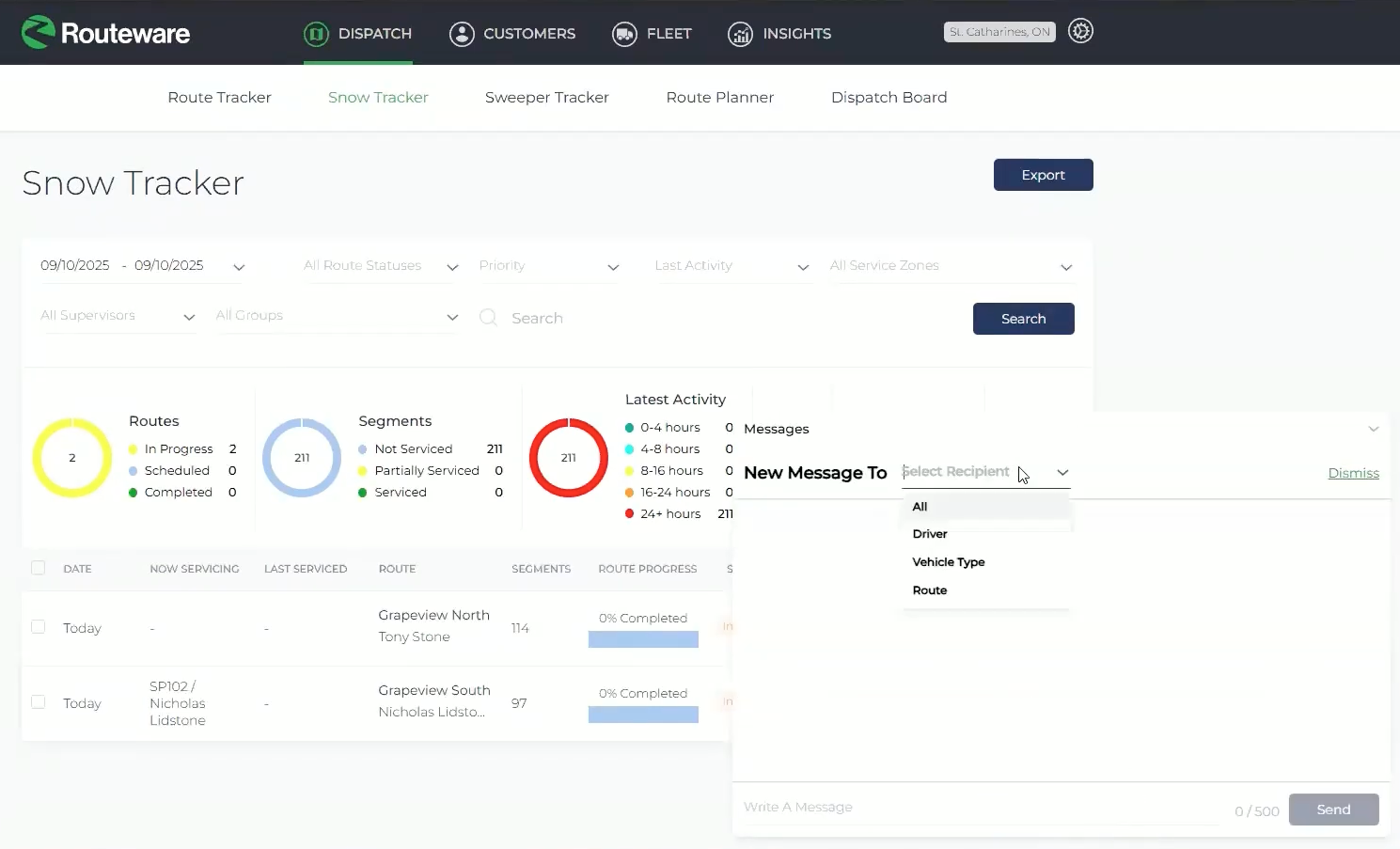
Snow removal software is only as useful as the picture it gives the people coordinating the storm response. Everything a driver does in the Routeware SmartCity Driver App feeds back to a central desktop tracker in near real time. Dispatchers see a live route summary with the completion percentage of every active truck, and when a driver files an exception, it appears on the dashboard immediately, with its photos and notes, so administrators can act on it without delay.
The system also captures the operational record that makes a winter program defensible. It logs material tickets for salt and chemical usage, supports route-assist so several plows can converge on one sector and watch progress update across all their screens together, and records GPS breadcrumbs for every pass. A manager can zoom into any street and see the exact time and vehicle speed of each pass a truck made, including extra passes beyond the requirement. That granular history is what lets a department answer a resident or an elected official with a precise record rather than a best guess. It is the same approach that helped Kansas City earn national recognition for its winter program, detailed in Routeware’s look at how technology optimizes snow operations.
It is worth noting that the Routeware SmartCity app is designed as a hardware-light solution. It relies on spatial tracking and driver input rather than physical spreader or plow sensors, which keeps deployment fast and avoids complex mechanical wiring. An operator can be equipped with a standard tablet rather than a custom hardware install.
Choosing Snow Removal Software That Fits Winter Work
The best snow removal software reflects the nuances of winter operations. A few qualities separate a genuine fit from a generic tracking tool: segment-level tracking that confirms what was cleared rather than just where a truck drove, multi-pass logic for roads that need more than one pass, turn-by-turn guidance so any driver can run any route, live hazard alerts for crew safety, and a connected back office that turns the day’s work into a usable record. The Routeware SmartCity platform was built around these realities, because snow is unlike any other municipal service and any software solution must reflect that.
Running a Stronger Winter Program
The move from paper maps to snow removal software is not a mere exercise in modernization. Its value is in about running a winter operation a city can see, coordinate, and stand behind, fewer distractions in the cab, any driver able to run any route, hidden hazards flagged before a truck reaches them, and a complete record of every pass when the storm is over. Cities that make the shift turn snow removal from a service that depends on memory and paper into one managed with the same confidence as any other core operation.
For public works leaders preparing for the season ahead, that is the practical value: safer crews, more complete coverage, and the data to prove it. To see how it works in practice, explore Routeware SmartCity snow solutions
Frequently Asked Questions
Snow removal software is a platform that helps municipal teams manage winter operations, replacing paper maps with real-time tracking of which streets have been plowed, in-cab navigation for drivers, hazard alerts, and a back-office view of the whole fleet.
It removes the need to mark a paper map by hand while driving, a dangerous distraction in icy conditions. The map updates automatically as the plow works, and live alerts warn drivers of hidden hazards like metal plates and speed bumps before they reach them, keeping attention on the road.
Yes. The Routeware SmartCity Driver App provides turn-by-turn navigation that guides an unfamiliar driver through every street segment and pass requirement, flags when they go off route, and lets a city deploy any available driver to any route during a major storm.
No. It is designed as a hardware-light solution that runs on standard Android and iOS tablets, using spatial tracking and driver input rather than physical plow or spreader sensors, which makes it fast to deploy across a winter fleet.
About the Author

Katie Kinnear
Katie Kinnear is Director of Brand Strategy at Routeware, where she leads brand, messaging, events, and communications efforts across the company’s full product suite. A 2024 Waste360 40 Under 40 honoree, she is passionate about advancing meaningful dialogue around circular solutions, smart city technology, and the future of waste and recycling. Katie serves on the boards of the Utah Recycling Alliance and Recycle Utah, extending her commitment to sustainability beyond the workplace and into her community.
 North America
  United Kingdom